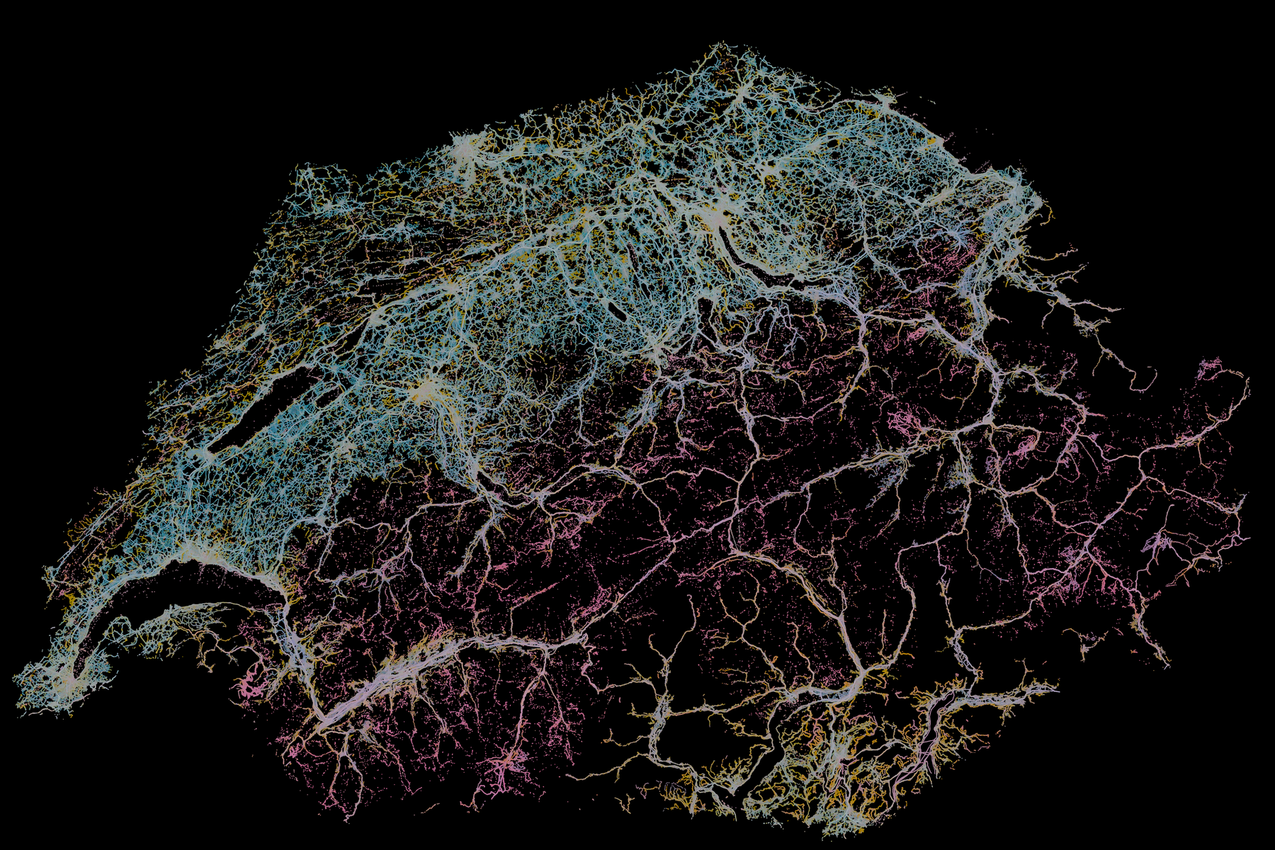
Landscape Signatures in Switzerland
Landscape Signatures are the patterned subset of landscape structure that is selected through attention, stabilized through repeated experience, and made socially meaningful through memory, use, and practice.
What is the territorial structure of Switzerland's visual landscape?
The answer. It is a continuous, variable-dimensional manifold — one connected fabric of visual character, with no gaps between types and a local dimensionality that varies from place to place.
Five independent layers of evidence
Each layer is methodologically independent of the ones below it; the verdict survives all five.
What varies along the continuum
Thirty-two shared axes, extracted from the three backbones’ common geometry and named by two independent vision-language models from the pole photographs themselves. Per-axis cross-model agreement 0.76–0.98, always reported.
The continuum, mapped
A continuum still supports operational cartography — gradients, distinctiveness and thresholds instead of hard type boundaries.
Regions of the gradient, not types
Community detection on the 7.2 M-node similarity graph partitions the continuum into 116 visual communities. They are real, stable regions — 13 reproduce strongly and 23 moderately across all three backbones — but they are not density modes: move a single detection threshold and the count of “discrete signatures” slides from 54 to 3.
Each community is characterized by two independent vision-language models, profiled along the shared axes, and grounded against the official Swiss landscape typology.
Three models, one geometry
The gradient is a property of the landscape, not of a network: two DINOv3 scales and a different model family agree on the low-dimensional geometry while drawing different fine cut lines.
The 116 communities
Regions of the gradient found by Leiden on the raw-embedding similarity graph — named by their dominant axes, characterized by two vision-language models, grounded against the official typology. None survives the discreteness gate robustly: they are cuts through the continuum.
The evidence
Every instrument was validated on known answers before being believed on real data; every major correction is on the record.
Direct instruments — full 7.2 M, three neighborhood scales
clusterability battery · manifold nullThe count of discrete signatures is a threshold artifact
modal-separation gate sweep · native4096Communities passing the modal-separation gate as the responsibility threshold ρ sweeps. There is no plateau — no natural count of discrete types. At the pre-registered operating point the full gate passes 3 of 116.
Partition stability under perturbation
size-weighted mean · reference configFraction of images keeping their community when the pipeline is re-run with a different seed, neighborhood size, graph type, or resolution. Seed-stable, parameter-sensitive — the signature of cuts through a gradient.
Across three backbones
transcribed from FINAL_ANALYSIS.md §3Against the official typology
Swiss Landschaftstypologie · chance-awareProvenance
how the result earned trustWhere does this look belong?
The trained continuous field regresses any photograph to its most likely locations — the mixture modes of p(location | image). Several modes are the honest answer on a continuum: a look that exists in three valleys yields three candidates. Median modal error ~20 km on the leak-free spatial split — a coarse landscape field, not a geolocator.
What is the territorial structure of Switzerland's visual landscape?
The question these documents answer, each at a different depth. Seven million street-level views, three independent vision models, one finding: a single connected visual continuum. Written for the general reader — start with the Summary, or read the full account.